Worldwide Sites
You have been detected as being from . Where applicable, you can see country-specific product information, offers, and pricing.
Keyboard ALT + g to toggle grid overlay
Connecting BIM & GIS
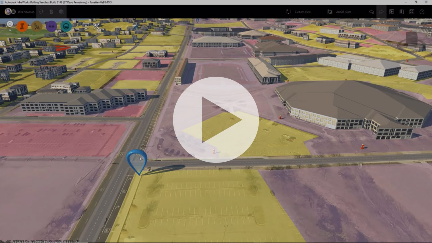
The Autodesk Connector for ArcGIS is the first step toward realizing the vision of the partnership between Autodesk and Esri to integrate BIM and GIS workflows. This new feature in Autodesk InfraWorks allows you to connect GIS data in a more seamless manner to your BIM design model in InfraWorks. With this capability, all attributes of the GIS data are added to the InfraWorks model, making the 3D context model much more intelligent, robust and accurate.

The Autodesk & Esri Partnership = BIM + GIS
In this webcast presentation, Autodesk Technical Marketing Manager, Wes Newman, and Rafael Fernandes, AEC Solution Engineer from Esri, discuss the benefits of the partnership between Autodesk and Esri. They also review the current state of solution integrations and the possibilities for the future.